
Basins, Stratigraphy and Geochronology
New Tools for the Investigation of Stratigraphic Successions and Deep Time
The sedimentary record in basins record the history of earth. The birth, life and death of a mountain chain is recorded in basinal sediments. Sediments record the history of past life, climate, environments and the evolution of the surface of the earth. Bruker’s analytical tools give geologists the power to understand trends, visualize structures and better understand the dynamic processes that have shaped Earth.
Chemostratigraphy Enables Correlations and Reservoir Characterization with High-resloution Elemental Data
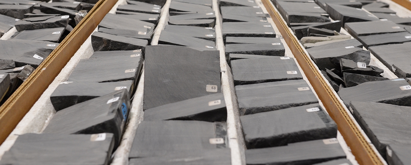
Chemostratigraphy utilizes chemical relationships in sedimentary rocks to understand stratigraphic relationships. Elemental chemostratigraphy is an accessible method that can be applied to cuttings, core, and outcrops using X-ray fluorescence (XRF). Elemental trends and ratios are an effective tool for correlation, even in thick successions of unconventional shale or red beds where marker beds are elusive. Elements can also be effective paleoenvironment proxies, indicating chemical conditions during deposition. For example, detrital sedimentation rates in predominantly carbonate system can be tracked by the covariance of aluminum (Al), potassium (K), silicon (Si), titanium (Ti), and zirconium (Zr). In mud-rich systems the accumulation of molybdenum (Mo) and uranium (U) can indicate anoxic bottom water conditions. Portable XRF (pXRF) and matrix-matched calibrations make collecting chemical data on rocks easier than ever. Click below to learn more.
Repeatable and Quantitative Lithostratigraphy with Innovative Mineral Analysis
Lithostratigraphy is the systematic organization of rocks based on their lithological properties. Bruker’s tools for mineral identification enable a type of quantitative lithostratigraphy or lithotyping. Lithotyping is using classification techniques like cluster analysis or deep learning to group large datasets into meaningful lithofacies-like groupings. Those groupings can be used in stratigraphy and basin analysis to:
Improve lithostratigraphy correlations by recognizing diagnostic patterns in lithotype occurrence that may not be obvious through optical observations of core, outcrop, or cuttings.
Conduct high-resolution reconstructions of paleoenvironment by connecting lithotypes to facies or sub-facies, such as tracking underclay-paleosol relationships.
Make regional sequence stratigraphic or predictive stratigraphic frameworks more robust by removing interruptive bias and increasing repeatability of stratigraphic observations from many wells.
Collect lithologic data from cuttings and other hard to describe geologic samples, empowering deep-time studies in locations without core or outcrop.
Create compelling visualizations that enable quick-look assessment of formation breaks, the occurrence of pay in all types of oil and gas wells.
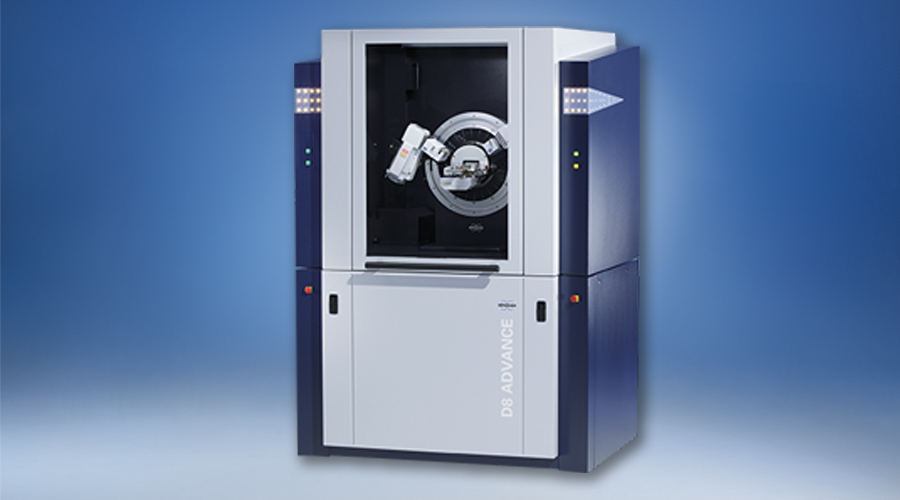
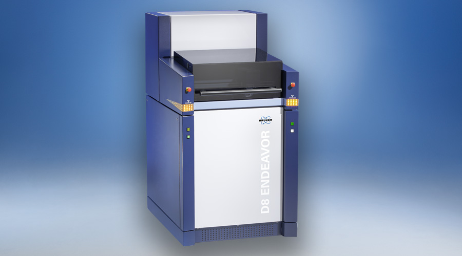
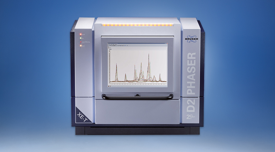
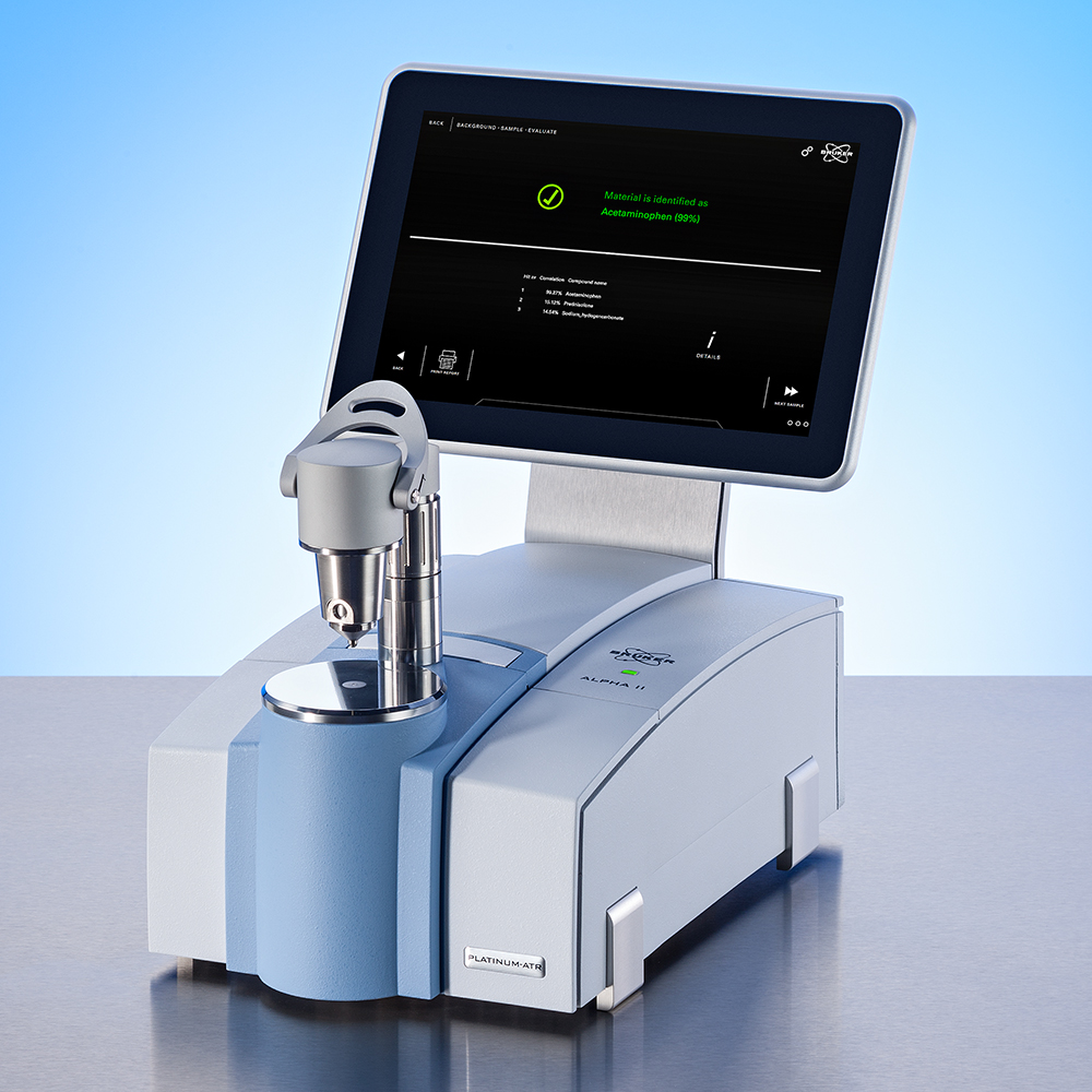
The main technologies used to generate lithostratigraphy logs are automated mineralogy, X-ray diffraction (XRD) and FTIR spectroscopy. Automated mineralogy generated quantified maps of minerals from thin sections or grain mounts. Mineral textural information and mineral associations can be used to group results into lithotypes and generate lithology logs, and calculated density or rock property logs. X-Ray diffraction (XRD) and Fourier Transform Infrared (FTIR) Spectroscopy can be used to identify minerals and the data can be grouped into lithotypes for logging.
Tools to Optimize Chronostratigraphy and Geochronology Workflows
Chronostratigraphy is concerned with establishing the general ages of stratified rocks. Studies of successions of rocks reveal depositional processes through investigations of chemistry, magnetism, fossils, striatal stacking patterns, and superposition relationships to reveal the temporal correlative relationships and the history of the earth. Geochronology is concerned with establishing the absolute age of any rock unit, and in sedimentary geology understanding the timing of processes such as erosion and deformation. The identification, isolation, and analysis of dateable minerals (e.g. zircon) is a primary tool used in both chronostratigraphy and geochronology. Bruker is innovating methods to streamline this process:
The M4 TORNADO micro-XRF geochemical mapping of large samples allows for quick-look assessment of zircon fertility of samples either through geochemical proxies or by direct mineral identification with M4 AMICS.
AMICS for scanning electron microscopes provides automated mineralogical mapping of thin sections and polished grain mounts to identify and quantify dateable minerals. AMICS can be configured to identify target minerals and collect high-quality long-count spectra for quantification.
Both SEM AMICS and M4 AMICS enables workers to precisely locate the spatial coordinates of dateable minerals on a slide, thin section, or grain mount. Those coordinates can be exported to a LA-ICPMS. This can reduce the total amount of sample processing and concentration needed, including hand picking of grains in mineral separates.
Publications Related to Basins, Stratigraphy, and Geochronology
- 2020 - Chemical Geology: The quantification and application of handheld energy-dispersive x-ray fluorescence (ED-XRF) in mudrock chemostratigraphy and geochemistry
- 2020 - Palaeogeography, Palaeoclimatology, Palaeoecology: Benchtop μXRF as a tool for speleothem trace elemental analysis: Validation, limitations and application on an Eemian to early Weichselian (125–97 ka) stalagmite from Belgium
- 2020 - Palaeogeography, Palaeoclimatology, Palaeoecology: Tracking drainage basin evolution, continental tectonics, and climate change: Implications from osmium isotopes of lacustrine systems
- 2019 - Journal of South American Earth Sciences: Saline lake development in the Aptian post-rift phase of the Tucano Basin: Tectonic and paleogeographic implications
- 2019 - Geosciences: (Open Access) Chemostratigraphy of the Upper Jurassic (Oxfordian) Smackover Formation for Little Cedar Creek and Brooklyn Fields, Alabama
- 2018 - Journal of Sedimentary Research: XRF-based Chemostratigraphy Between and Across Two Disconformities in the Ordovician Trenton Group and Utica Shale of Central New York, USA
- 2017 - Global and Planetary Change: Integrated multi-stratigraphic study of the Coll de Terrers late Permian–Early Triassic continental succession from the Catalan Pyrenees (NE Iberian Peninsula): A geologic reference record for equatorial Pangaea
- 2016 - Journal of Natural Gas Science and Engineering: FTIR, XRF, XRD and SEM characteristics of Permian shales, India
- 2013 - Earth-Science Reviews: High-resolution X-ray computed tomography in geosciences: A review of the current technology and applications
- 2012 - Advances in Water Resources: X-ray imaging and analysis techniques for quantifying pore-scale structure and processes in subsurface porous medium systems
- 2003 - Geological Society of London: Applications of X-ray Computed Tomography in the Geosciences


